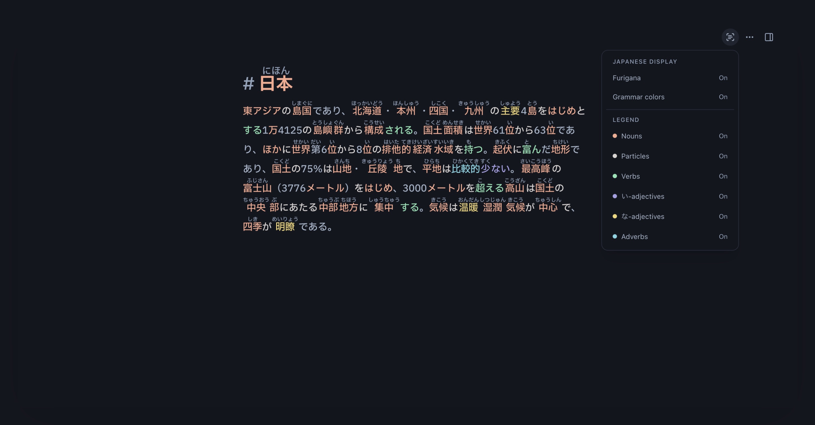
# 日本
東アジアの島国であり、北海道・本州・四国・九州の主要4島をはじめとする1万4125の島嶼群から構成される。国土面積は世界61位から63位であり、ほかに世界第6位から8位の排他的経済水域を持つ。
起伏に富んだ地形であり、国土の75%は山地・丘陵地で、平地は比較的少ない。最高峰の富士山(3776メートル)をはじめ、3000メートルを超える高山は国土の中央部にあたる中部地方に集中する。気候は温暖湿潤気候が中心で、四季が明瞭である。
Write Japanese notes in Markdown, and show readings only for kanji you have not learned yet.
Free. No account required.
東アジアの島国であり、北海道・本州・四国・九州の主要4島をはじめとする1万4125の島嶼群から構成される。国土面積は世界61位から63位であり、ほかに世界第6位から8位の排他的経済水域を持つ。
起伏に富んだ地形であり、国土の75%は山地・丘陵地で、平地は比較的少ない。最高峰の富士山(3776メートル)をはじめ、3000メートルを超える高山は国土の中央部にあたる中部地方に集中する。気候は温暖湿潤気候が中心で、四季が明瞭である。
東アジアの島国であり、北海道・本州・四国・九州の主要4島をはじめとする1万4125の島嶼群から構成される。国土面積は世界61位から63位であり、ほかに世界第6位から8位の排他的経済水域を持つ。
Personalized furigana
Choose a JLPT level, or connect WaniKani to match your study progress.
Japanese syntax
Turn on Japanese grammar highlighting to color nouns, verbs, particles, adverbs, i-adjectives, and na-adjectives.
Your notes stay yours
Kakimono works in the browser and is free to use. No account is required!
Your notes can leave whenever you want: export Markdown, rendered HTML with ruby markup, PDF, or a JSON backup that restores the local app state.
Adjust a furigana reading when a kanji has more than one valid reading.
Use wikilinks like [[文法]] and tags to keep related notes discoverable.
Use headings, lists, quotes, and links without turning your notes into a heavy document editor.
Kakimono is in beta, with more features coming soon.